Professor Bhaskar Krishnamachari of I3: The Intelligent IoT Integrator (I3), presented “Towards a Decentralized Data Marketplace for Smart Cities” at a recent IEEE Smart Cities conference. The presentation was based on a recently released, open sourced Decentralized Data Marketplace (DDM).
We started discussion with the Haven app, an app which incorporates smartphone data in order to determine when someone has entered the room and/or tampered with personal assets such as a computer. It uses accelerometer, camera, light, microphone, and power data in order to determine activity around the smartphone. When triggered, (reaches the configured sensitivity threshold), notifications are sent via SMS or the Signal end-to-end encryption system. Remote access is available via TOR. The Android source code is open source.
We then briefly heard from Eric Brunner, who recently completed a prototype of a thin (~.25 mm), light-weight, plastic flex sensor. He demonstrated its touch and proximity sensing as shown in the linked slide (Eric Brunner Flex Sensor) He is seeking “your help if you have comments/suggestion on routes to monetization or other potential applications.
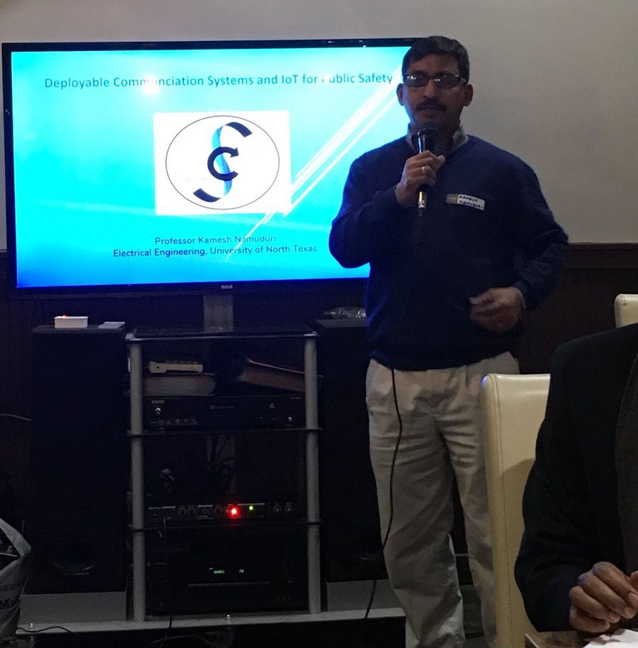
We then heard from UNT Electrical Engineering Professor Kamesh Namuduri on a locally deployable communication system for public safety. The system is intended to aid communication in emergency response zones, for example, person to person via voice/SMS/data or sensors/IoT system in the disaster response zone. Intended ground communication devices/radios may be smartphones for person to person comms or sensor/IoT systems for supporting emergency responders in the zone.
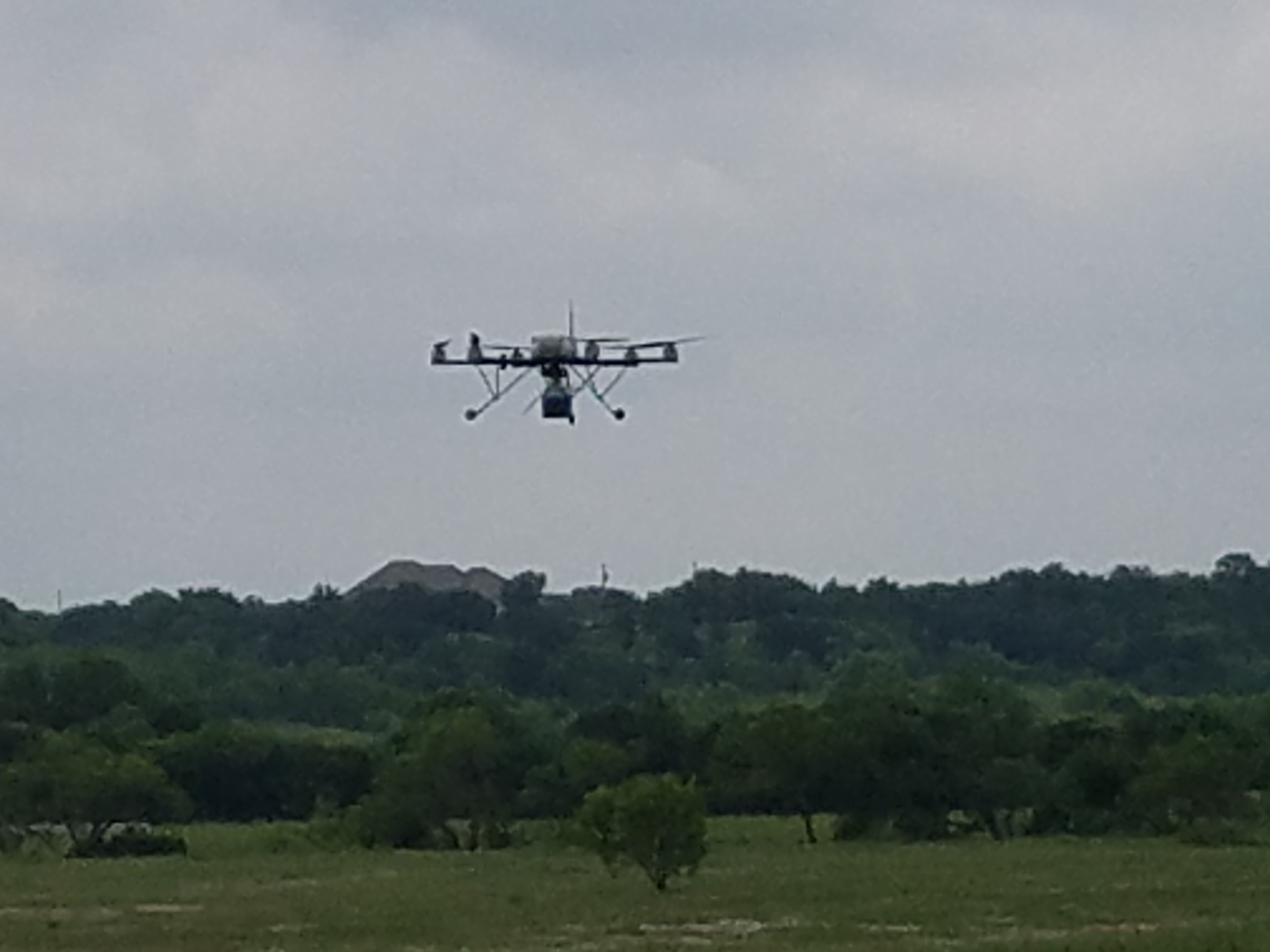
The system can be deployed by using balloon, drone, or other air vehicle. The system may facilitate radio communication within the response zone or may employ backhaul. Duration of deployment for emergency communication systems is limited by battery-life. One remedy to limited power (and bandwidth) was a tether with a power cable and a data cable. Further research is needed to understand optimal altitude of deployment and scaling the system to increase coverage area, among others. Professor Namuduri concluded with possible future work including networking the deployed systems to mitigate and improve the system. Professor Kamesh Namuduri Slides.
Intelligent Traffic Systems – Traffic Signal Timing Optimization
We started discussion with the general evolution of traffic signal and related technologies, noting that one of the deficiencies is traffic signal timing. Common traffic light optimization is retiming based on traffic statistics, leading to a fixed-timing strategy.
The UTD ITS team recently completed a primary investigation of using distributed, model-free, near real-time optimization of traffic signal timing. Simulations were run based on Dallas and Richardson intersections. The initial strategy was local optimization, where each traffic signal sought to maximize north/south and west/east traffic throughput without communication with other traffic signals (they were “greedy”). The simulation employed a function with various parameters and vehicles with randomized individual behavior. Real maps of the target intersections were imported into the simulation and the simulated traffic count was based on the inductance coils that are already at most major intersections. Monte carlo simulations were run by adjusting the fraction of time each direction is green and the vehicle throughput observed for the maximum throughput. Simulation results demonstrated approximately 5% reduction in the number of cars stopped at the intersection, which is on par to manual retiming. Possible future research includes optimization among a network of traffic intersections.
Other points of note:
The reduction in number of stopped vehicles was uniform across various traffic conditions. That is to say reductions were observed equally in high traffic and low traffic conditions
The computational and bandwidth footprint was sufficiently lean such that it is expected that a single board computer could be installed at an intersection without additional hardware
The simulation could support historical traffic count data as input, enabling a municipality to possibly move away from fixed timing
Sequential Traffic Signal Timing Challenge (SpaT Challenge) – A program to encourage cities to implement Dedicated Short Range Communication infrastructure to vehicle messages over a coordinated corridor or network of traffic signals.
Frisco Traffic Light to Vehicle Communication – Some traffic lights broadcast a countdown to green light time to vehicles.
Frisco Smart Irrigation Program – City assisted setup of citizen purchased smart irrigation controller with usage data transmitted to the city.
Dallas West End Kiosks and WiFi – Large kiosks with curated information about tourist sites and wifi connectivity
Oakland Air Pollution Mapping – Mapping pollutant concentration and particulate in the city.
We broke into groups for further discussion of the programs. We then had round robin comments from some of the notable technologies, impact, funding, and other aspects each of the projects, with Q&A from the others.
The discussion started with the recent V2I demonstration in Frisco. The time to green feature was demonstrated where a driver at a red light receives a countdown timer to the green light. Future features will be the reduced speed recommendation, where signals are sent to the vehicle for optimum speed between traffic signals without the need for stopping. Currently, the applications are certain only for late 2016 and 2017 Audis with the traffic light information service. However, from the diagram in the linked article, it appears that there aren’t technical limitations on other models eventually using the system. Frisco expects the system to go live in early 2017
John Lindsay discussed the beta of his Smooth Driver Monitoring app, which monitors driver behavior for sudden stops using the accelerometer and GPS data. The location of the sudden stop are logged and displayed to the user as they drive. Over time, clusters of sudden stops may be formed. This display encourages drivers to change their driving behavior in those locations and average their speed through the location. The app is native Android. See the prior Accessing Sensors in Android Development slides (PDF).
Shayne O’Sullivan discussed the Vinli hardware and software. The hardware aspect of Vinli is a dongle that plugs in the OBD port of the vehicle. The dongle adds 4G LTE connectivity to the vehicle for passengers as as outbound transport of OBD data. The dongle also includes an accelerometer and GPS. The data provides the basis for the Vinli app development environment, which is the largest app ecosystem for cars. The raw OBD, accelerometer, and GPS data are uploaded for controlled access by apps. The Vinli platform provides categorized access to the raw data and provides access to some basic analytics on the raw data. The access is generally RESTful and has wrappers for web socket, Android, and iOS access. See the Vinli developer portal or the developer docs.
Brandon Swink discussed using the IBM Bluemix for a smarter city’s use of aggregate driver data in order to aid increased proactive traffic management/communications. He discussed processing individual vehicle data such as that output by the Smooth Driver App and other individual vehicle data using tools such as IBM Streaming Analytics Services (PDF slides), individually or in aggregate. IBM Streaming Analytics enables a developer to receive and process large volumes of data with low latency. The demo include receiving data that was processed to detect an accident condition for a vehicle. A geofence was created around the accident vehicle for signaling for use by city staff such as traffic or EMS. See the Connected Car Bluemix demo environment.
Jimmy Smerud from Forgerock discussed security issues in a vehicle and connected vehicle setting. He started with the different roles in vehicle access and use such as adult drivers, teen drivers, mechanics, and valets . Following that was discussion of a reference connected device architecture where security can be applied. See the presentation slides (PDF) or the video of Forgerock Authenticator integration.