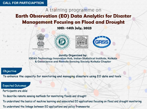
Event Date: July 10-14, 2023
Venue: IDEAS-TIH, ISI Kolkata, India
Jointly Organized by IDEAS-Technology Innovation Hub, Indian Statistical Institute, Kolkata & Geoscience and Remote Sensing Society Kolkata Chapter
Water is a necessary component for life, sustenance and requires effective management strategies for a sustainable future. The distribution of water is non-uniform over space and time depending upon the local geographical conditions, but water-based (hydrological) events like floods and droughts are sweeping across the globe in recent years. Over the past two decades, a phenomenal rising trend of floods and droughts are noticed across the entire South Asia with a concern for increasing frequencies of flashy events from short but high-intensity precipitation or dry spells, respectively. The global average annual loss from disasters is estimated to rise from a yearly average of US$ 260 billion in 2015 to US$ 414 billion by 2030. This puts economic growth, poverty reduction, peace, or, commonly, the achievement of Sustainable Development Goals at risk. It is essential to map the nature and extent of the flooding and drought events to
develop mitigation and adaptation policies at the local to national scale. This could help to provide valuable information for the implementation of different policy frameworks, for instance, Sendai Framework for Disaster Risk Reduction (SFDRR), United Nations Sustainable Development Goals (UN-SDGs), National/ State Action Plan for Climate Change (NAPCC/ SAPCC). Geospatial sciences, earth observation data, and the latest techniques related to data sciences have opened the gates of opportunity to monitor and assess the losses due to disasters, including floods, droughts and others. Objectives of the course focus on understanding the physical processes related to floods and droughts and emphasize the current capabilities using open-source datasets, freely available cloud-computing web platforms and other advanced operational tools relevant to these applications. The proposed course shall contain both theoretical lectures and hands-on demonstrations based on the current needs of the academicians, professionals and policy-makers on the following topics:-
1. Introduction to the concept of Natural Hazards & Disasters and applications of EO data for monitoring and management.
2. Developing an in-depth understanding of different policy frameworks [e.g., Sendai Framework for Disaster Risk Reduction (SFDRR), United Nations-Sustainable Development Goals (UN-SDGs), National/ State Action Plan for Climate Change (NAPCC/ SAPCC)] contributing towards sustainable disaster management and a resilient future.
3. Concept and availability of free and open-source datasets, web portals and software for assessment of various types of environmental dynamics and/or natural hazards.
4. Geospatial modelling of Flood and Drought vulnerability zones (based on different case studies) in cloud computation platforms (CCP) like Google Earth Engine (GEE).
